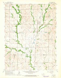
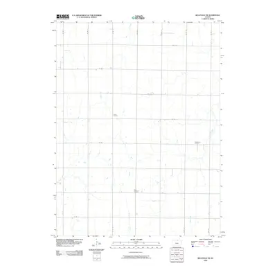
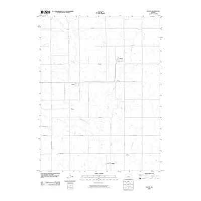
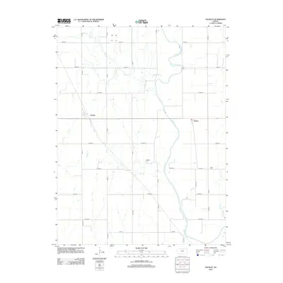
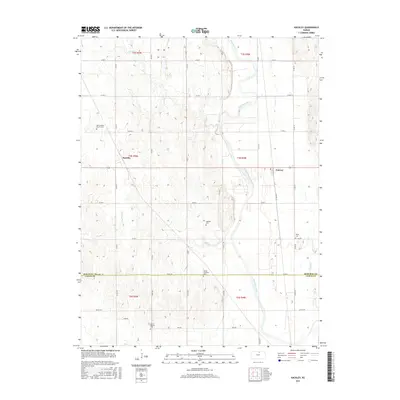
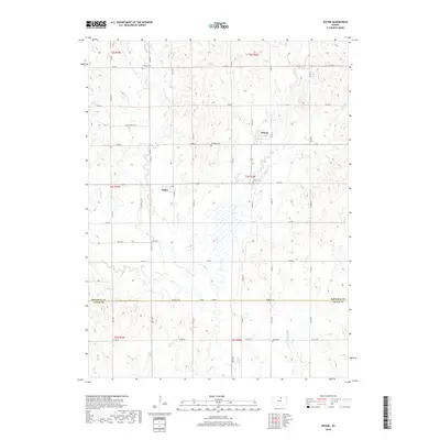
1965 Map of Wayne
USGS Topo · Published 1966About this map
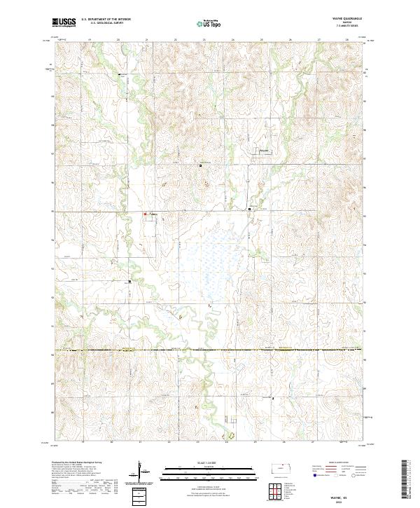
Wayne and Talmo anchor this mid-1960s landscape in north-central Kansas, where the rolling plains are deeply etched by a complex drainage network. The Chicago Burlington and Quincy Railroad bisects the region, providing a primary transport artery through the townships of Jefferson, Lincoln, and Grant. The map captures a high level of local genealogical detail, marking numerous small burial grounds such as Frontier Cem, Rose Hill Cem, and Zion Cem.
Find a feature on this map
28 named features on this map. Tap any name to fly to it.
Don’t see what you’re looking for? This feature index may not catch every label — zoom into the map to look around manually.
Map Details
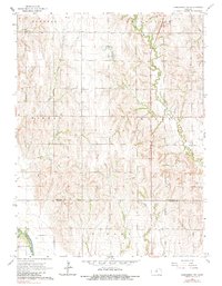
Editions of this 1965 Wayne Map
This is the sole edition of this map. No revisions or reprints were ever made.
Historical Maps of Talmo Through Time
30 maps found
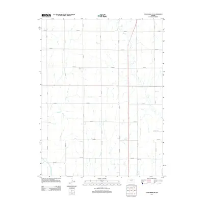
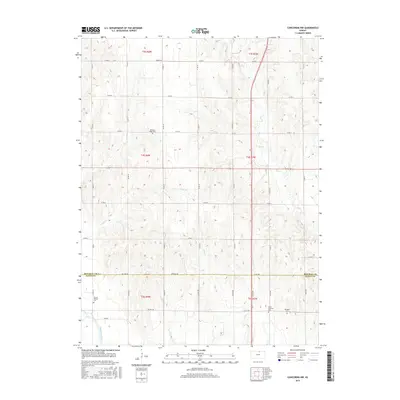
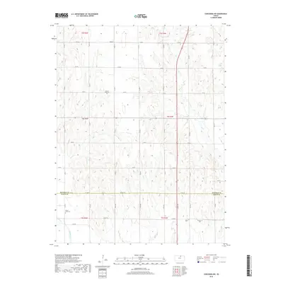
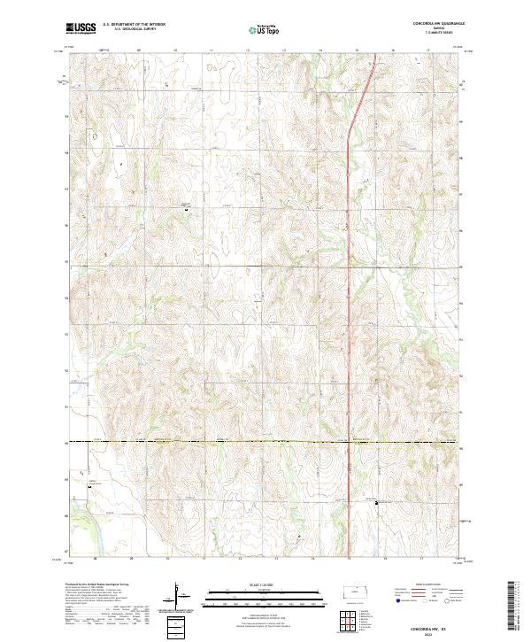
1965 Concordia NW
Republic County, KS
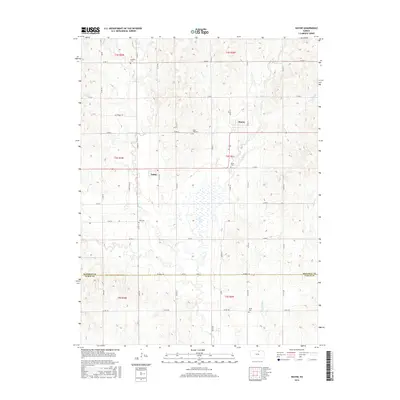
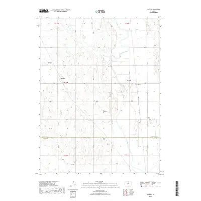
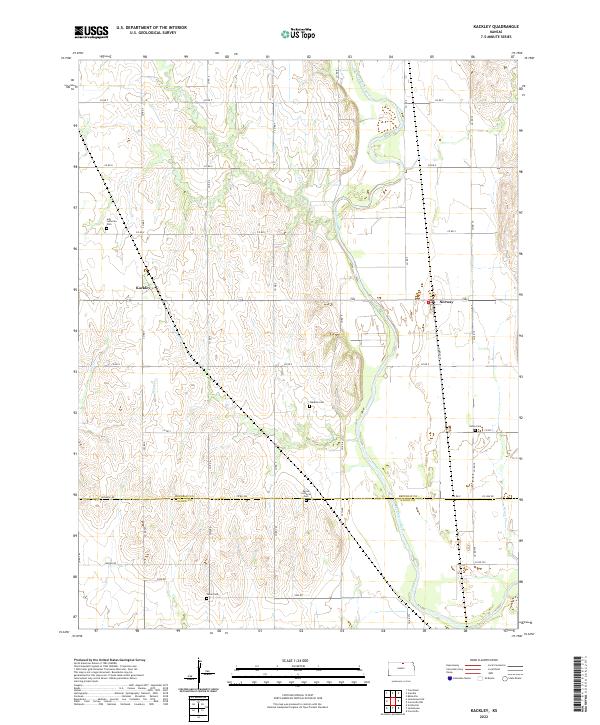
1965 Kackley
Republic County, KS
1965 Wayne
Republic County, KS

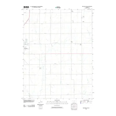
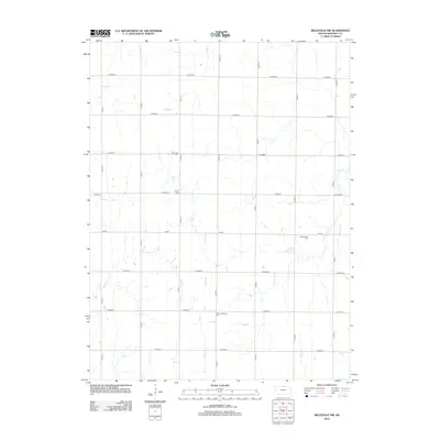
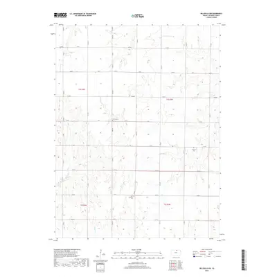
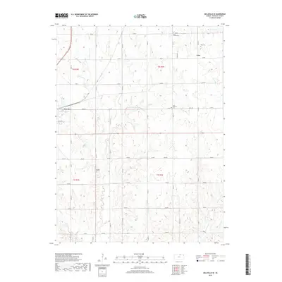
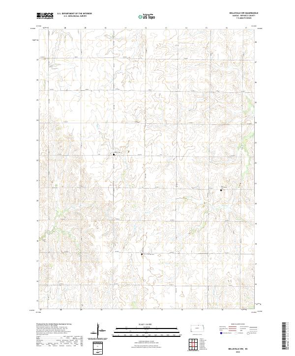
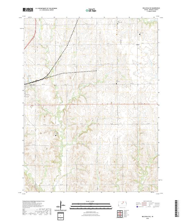
1966 Belleville SE
Republic County, KS
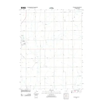
1968 Belleville NW
Republic County, KS
2009 Belleville NW
Republic County, KS
2009 Belleville SE
Republic County, KS
2009 Concordia NW
Republic County, KS
2009 Kackley
Republic County, KS
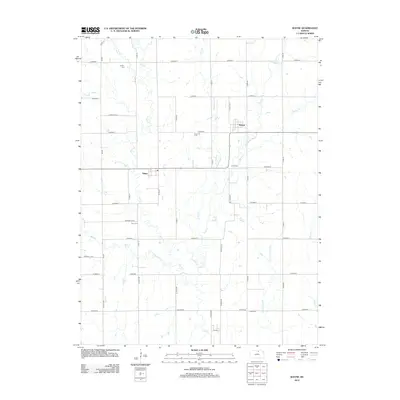
2009 Wayne
Republic County, KS
2012 Belleville NW
Republic County, KS
2012 Belleville SE
Republic County, KS
2012 Concordia NW
Republic County, KS
2012 Kackley
Republic County, KS
2012 Wayne
Republic County, KS
2015 Belleville NW
Republic County, KS
2015 Belleville SE
Republic County, KS
2015 Concordia NW
Republic County, KS
2015 Kackley
Republic County, KS
2015 Wayne
Republic County, KS
2018 Belleville NW
Republic County, KS
2018 Belleville SE
Republic County, KS
2018 Concordia NW
Republic County, KS
2018 Kackley
Republic County, KS
2018 Wayne
Republic County, KS
2022 Belleville NW
Republic County, KS
2022 Belleville SE
Republic County, KS
2022 Concordia NW
Republic County, KS
2022 Kackley
Republic County, KS
2022 Wayne
Republic County, KS