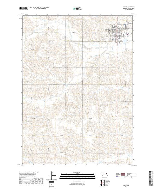
2021 Map of Wayne
USGS Topo · Published 2021About this map
Wayne serves as the focal point of this Nebraska landscape, where the street grid of the city meets the agricultural section lines of the surrounding plains. The presence of the Wayne County Courthouse and Wayne State College underscores the town's importance as both a regional administrative center and an educational hub. To the west, Greenwood Cem borders the residential blocks, providing a point of interest for those researching local family histories. The terrain is defined by a series of drainage systems, including S Logan Cr, Deer Cr, and Coon Cr, which carve subtle valleys through the township. A network of rural roads like Grainland Rd and 856th Rd provides access to the surrounding farmsteads, following the rigid geometry of the Public Land Survey System sections.
Find a feature on this map
52 named features on this map. Tap any name to fly to it.
Don’t see what you’re looking for? This feature index may not catch every label — zoom into the map to look around manually.
Map Details
Editions of this 2021 Wayne Map
This is the sole edition of this map. No revisions or reprints were ever made.
Other maps of this area

1955 · Sioux City
USGS Topo · 1:250,000

1958 · Sioux City
USGS Topo · 1:250,000

1959 · Sioux City
USGS Topo · 1:250,000

1963 · Pilger
USGS Topo · 1:24,000

1963 · Wayne SW
USGS Topo · 1:24,000

1963 · Altona
USGS Topo · 1:24,000

1963 · Winside
USGS Topo · 1:24,000

1963 · Wayne
USGS Topo · 1:24,000

1966 · Altona NW
USGS Topo · 1:24,000

1967 · Wakefield SW
USGS Topo · 1:24,000