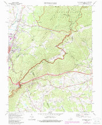
1973 Map of Waynesboro East
USGS Topo · Published 1987About this map
Blue Ridge mountain terrain dominates this mid-1970s survey, where the intersecting borders of Augusta, Albemarle, and Nelson Counties meet. The landscape is defined by the convergence of major travel arteries, including the Skyline Drive, the Blue Ridge Parkway, and the historic Appalachian Trail. Transportation history is particularly evident at Rockfish Gap, where the Blue Ridge Tunnel passes beneath the heights, and the Chesapeake and Ohio and Norfolk and Western railroads navigate the steep grades.
Find a feature on this map
78 named features on this map. Tap any name to fly to it.
Don’t see what you’re looking for? This feature index may not catch every label — zoom into the map to look around manually.
Map Details
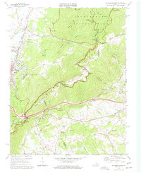
Editions of this 1973 Waynesboro East Map
2 editions found
Other maps of this area

1892 · Buckingham
USGS Topo · 1:125,000

1892 · Harrisonburg
USGS Topo · 1:125,000

1929 · Covesville
USGS Topo · 1:62,500

1931 · University
USGS Topo · 1:62,500

1934 · Waynesboro
USGS Topo · 1:48,000

1935 · Covesville
USGS Topo · 1:62,500

1935 · University
USGS Topo · 1:62,500

1939 · Waynesboro
USGS Topo · 1:62,500

1943 · Lovingston
USGS Topo · 1:62,500

1945 · Covesville
USGS Topo · 1:62,500