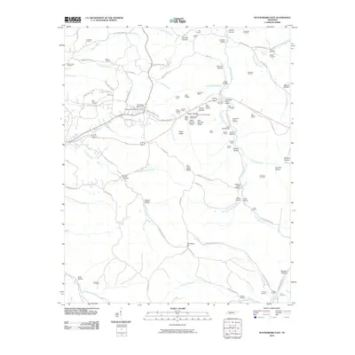
2010 Map of Waynesboro East
USGS Topo · Published 2010About this map
Negro Ridge Mine and West Furnace Ridge Mine center an area defined by its early industrial extraction, where small-scale prospecting and iron production left a permanent mark on the landscape. The geography is characterized by an intricate network of hollows, including Louse Hollow and Limekiln Hollow, that drain into the Forty-eight Creek system. This 2010 update shows the persistent rural character of Wayne County, where family-named cemeteries such as Copeland Cemetery and Staggs Cemetery anchor the local genealogy. The presence of the Forge Stack Bridge serves as a reminder of the region's historical ironworks near Lee Hollow Mines. Along the eastern edge, the Natchez Trace Pkwy skirts the drainage of Glenrock Branch, while the settlement at Fourmile Board Hill provides one of the few concentrated points of human habitation in this heavily dissected terrain.
Find a feature on this map
103 named features on this map. Tap any name to fly to it.
Don’t see what you’re looking for? This feature index may not catch every label — zoom into the map to look around manually.
Map Details
Editions of this 2010 Waynesboro East Map
This is the sole edition of this map. No revisions or reprints were ever made.
Other maps of this area

1905 · Waynesboro
USGS Topo · 1:125,000

1936 · Riverside
USGS Topo · 1:24,000

1936 · Westpoint
USGS Topo · 1:24,000

1936 · Collinwood
USGS Topo · 1:24,000

1936 · Leatherwood
USGS Topo · 1:24,000

1936 · Negro Hollow
USGS Topo · 1:24,000

1936 · Three Churches
USGS Topo · 1:24,000

1936 · Waynesboro
USGS Topo · 1:24,000

1936 · Topsy
USGS Topo · 1:24,000

1936 · Ovilla
USGS Topo · 1:24,000