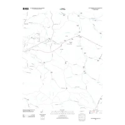
2013 Map of Waynesboro East
USGS Topo · Published 2013About this map
Mount Hope and Fourmile Board Hill anchor the settlement patterns in this part of Wayne County, where the landscape is defined by an intricate network of ridges and deep hollows. The terrain features numerous named ridges such as Lee Ridge, East Furnace Ridge, and Negro Ridge, hinting at the area's local history of industry and settlement. Significant watercourses including the Green River, Hurricane Cr, and Fortyeight Cr carve through the topography, joined by smaller tributaries like Oldtown Br and Simmons Br.
Find a feature on this map
111 named features on this map. Tap any name to fly to it.
Don’t see what you’re looking for? This feature index may not catch every label — zoom into the map to look around manually.
Map Details
Editions of this 2013 Waynesboro East Map
This is the sole edition of this map. No revisions or reprints were ever made.
Other maps of this area

1905 · Waynesboro
USGS Topo · 1:125,000

1936 · Riverside
USGS Topo · 1:24,000

1936 · Westpoint
USGS Topo · 1:24,000

1936 · Collinwood
USGS Topo · 1:24,000

1936 · Leatherwood
USGS Topo · 1:24,000

1936 · Negro Hollow
USGS Topo · 1:24,000

1936 · Three Churches
USGS Topo · 1:24,000

1936 · Waynesboro
USGS Topo · 1:24,000

1936 · Topsy
USGS Topo · 1:24,000

1936 · Ovilla
USGS Topo · 1:24,000