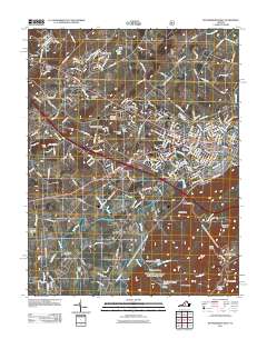
2011 Map of Waynesboro West
USGS Topo · Published 2011About this map
Waynesboro and its westward expansion define this landscape, where the South River winds through a valley flanked by significant ridges and hollows. The map illustrates a transition from the urban core of the city to suburban developments like Fishersville and Summerfield, as well as older communities such as Lyndhurst and Lipscomb. This era shows a heavily networked region, with the Waynesboro Post Office serving a growing population nestled between Afton Mountain and the watercourse of Goose Creek.
Find a feature on this map
53 named features on this map. Tap any name to fly to it.
Don’t see what you’re looking for? This feature index may not catch every label — zoom into the map to look around manually.
Map Details
Editions of this 2011 Waynesboro West Map
This is the sole edition of this map. No revisions or reprints were ever made.
Other maps of this area

1892 · Buckingham
USGS Topo · 1:125,000

1892 · Harrisonburg
USGS Topo · 1:125,000

1894 · Staunton
USGS Topo · 1:125,000

1894 · Lexington
USGS Topo · 1:125,000
1934 · Waynesboro
USGS Topo · 1:48,000
1936 · Vesuvius
USGS Topo · 1:48,000
1939 · Waynesboro
USGS Topo · 1:62,500
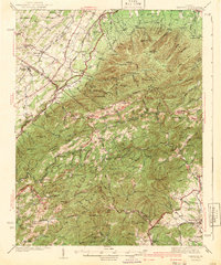
1941 · Vesuvius
USGS Topo · 1:62,500
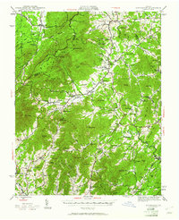
1943 · Lovingston
USGS Topo · 1:62,500
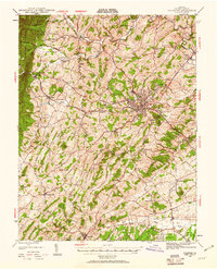
1944 · Staunton
USGS Topo · 1:62,500