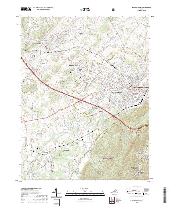
2022 Map of Waynesboro West
USGS Topo · Published 2022About this map
Waynesboro serves as the focal point of this regional study, where the urban grid meets the rising slopes of the Blue Ridge. The map details the city's civic core, including the Waynesboro City Courthouse and the Riverview Cem near the banks of the South River. Westward, the suburban development of Fishersville and Kingsbury Manor occupies the valley floor, interspersed with landmarks like Augusta Memorial Park and the Eagle's Nest Airport.
Find a feature on this map
250 named features on this map. Tap any name to fly to it.
Don’t see what you’re looking for? This feature index may not catch every label — zoom into the map to look around manually.
Map Details
Editions of this 2022 Waynesboro West Map
This is the sole edition of this map. No revisions or reprints were ever made.
Other maps of this area

1892 · Buckingham
USGS Topo · 1:125,000

1892 · Harrisonburg
USGS Topo · 1:125,000

1894 · Staunton
USGS Topo · 1:125,000

1894 · Lexington
USGS Topo · 1:125,000

1934 · Waynesboro
USGS Topo · 1:48,000

1936 · Vesuvius
USGS Topo · 1:48,000

1939 · Waynesboro
USGS Topo · 1:62,500

1941 · Vesuvius
USGS Topo · 1:62,500

1943 · Lovingston
USGS Topo · 1:62,500

1944 · Staunton
USGS Topo · 1:62,500