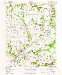
2023 Map of Waynesville
USGS Topo · Published 2023About this map
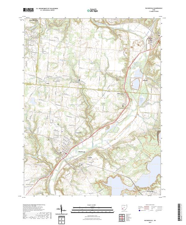
The Little Miami River corridor anchors this portion of southwest Ohio, where the valley floor transitions into the upland plateaus of Warren and Greene counties. Recent mapping reveals a landscape shaped by both agriculture and local aviation, with three distinct landing strips—Air Jordan Airport, Anderson Airfield, and Red Stewart Airfield—distributed across the quadrangle. For those researching family history, the map provides precise locations for several significant burial grounds, including the Middle Run Primitive Baptist Church Cem and the Waynesville Friends Cem, reflecting the area's Quaker and early pioneer heritage.
Find a feature on this map
136 named features on this map. Tap any name to fly to it.
Don’t see what you’re looking for? This feature index may not catch every label — zoom into the map to look around manually.
Map Details
Editions of this 2023 Waynesville Map
This is the sole edition of this map. No revisions or reprints were ever made.
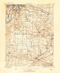
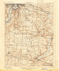
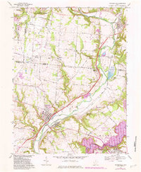
Historical Maps of Mount Holly Through Time
5 maps found