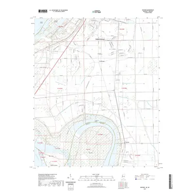
2020 Map of Wayside
USGS Topo · Published 2020About this map
The Mississippi River defines the western edge of this Delta landscape, marked by significant engineered and natural hydrological features. Modern Greenville sits north of a complex system of drainage infrastructure including the Main Canal and various numbered ditches that regulate the fertile lowlands. The massive oxbow at American Bend and the Leland Cutoff illustrate the river's historic shifts and the subsequent creation of Bell Island, which is partitioned by the Mississippi Arkansas state line.
Find a feature on this map
114 named features on this map. Tap any name to fly to it.
Don’t see what you’re looking for? This feature index may not catch every label — zoom into the map to look around manually.
Map Details
Editions of this 2020 Wayside Map
This is the sole edition of this map. No revisions or reprints were ever made.
Other maps of this area

1939 · Readland
USGS Topo · 1:62,500

1939 · Refuge
USGS Topo · 1:62,500

1939 · Tralake
USGS Topo · 1:62,500

1939 · Swan Lake
USGS Topo · 1:62,500

1953 · Greenwood
USGS Topo · 1:250,000

1956 · Greenwood
USGS Topo · 1:250,000

1967 · Arcola
USGS Topo · 1:24,000

1967 · Leland
USGS Topo · 1:24,000
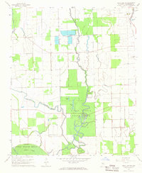
1967 · Swan Lake NW
USGS Topo · 1:24,000
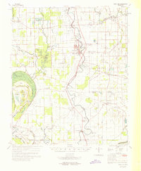
1969 · Swan Lake
USGS Topo · 1:62,500