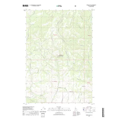
2020 Map of Weasel Gulch
USGS Topo · Published 2020About this map
Payette National Forest dominates this mountain landscape, where complex drainage systems define the high-country geography of Adams County. The terrain is deeply carved by numerous canyons and ravines, including the central Weasel Gulch and the southerly Alder Gulch and Timber Gulch. Water is the primary architect of the region, with the W Fork Weiser River flowing through the eastern reaches while the N Hornet Cr and its various forks, such as the Left Fork N Hornet Cr, drain the central and western slopes. Forest service infrastructure is prominent throughout the map, represented by a dense network of mountain routes like Summit Creek Rd and N Fork Hornet Creek Rd. These roads provide access to isolated points of interest for researchers and outdoorsmen, including several named water sources like Dean Spring and Harrington Spring.
Find a feature on this map
52 named features on this map. Tap any name to fly to it.
Don’t see what you’re looking for? This feature index may not catch every label — zoom into the map to look around manually.
Map Details
Editions of this 2020 Weasel Gulch Map
This is the sole edition of this map. No revisions or reprints were ever made.
Other maps of this area

1911 · Meadows
USGS Topo · 1:125,000

1920 · Seven Devils Mining District
USGS Topo · 1:48,000

1938 · Riggins
USGS Topo · 1:96,000

1945 · Riggins
USGS Topo · 1:125,000

1954 · New Meadows
USGS Topo · 1:62,500

1955 · Baker
USGS Topo · 1:250,000

1955 · Grangeville
USGS Topo · 1:250,000

1957 · Cuprum
USGS Topo · 1:62,500

1957 · Hornet
USGS Topo · 1:62,500

1959 · Baker
USGS Topo · 1:250,000