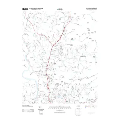
2013 Map of Weaverville
USGS Topo · Published 2013About this map
Weaverville and the French Broad River corridor serve as the central axis for this 2013 topographic survey of Buncombe County. The landscape is defined by its deep mountain coves and ridges, such as Hemphill Knob and Brittain Cove, which are intersected by several waterways including Reems Cr and Beaverdam Cr. Significant cultural sites like the Vance Homestead and the Asheville- Weaverville Speedway reflect the area’s intersection of historic preservation and local recreation.
Find a feature on this map
417 named features on this map. Tap any name to fly to it.
Don’t see what you’re looking for? This feature index may not catch every label — zoom into the map to look around manually.
Map Details
Editions of this 2013 Weaverville Map
This is the sole edition of this map. No revisions or reprints were ever made.
Other maps of this area

1894 · Asheville
USGS Topo · 1:125,000

1900 · Mount Mitchell
USGS Topo · 1:125,000

1901 · Asheville
USGS Topo · 1:125,000

1902 · Mount Mitchell
USGS Topo · 1:125,000

1935 · Barnardsville
USGS Topo · 1:24,000

1935 · Craggy Pinnacle
USGS Topo · 1:24,000

1936 · Marshall
USGS Topo · 1:24,000

1936 · Enka
USGS Topo · 1:24,000

1936 · Weaverville
USGS Topo · 1:24,000

1936 · Mars Hill
USGS Topo · 1:24,000