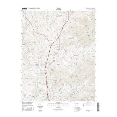
2016 Map of Weaverville
USGS Topo · Published 2016About this map
Asheville and its northern neighbor Weaverville occupy the central corridor of this North Carolina terrain, where the valley floor is defined by the French Broad River and the tracks of the Norfolk Southern railroad. The landscape is dense with local family history, reflected in numerous small burying grounds such as Sheppard Cem, Garrison Cem, and Capps Cem. To the east, the topography rises sharply toward summits like Hamburg Mtn and Brittain Mtn, punctuated by deep coves and hollows such as Brittain Cove and Belew Hollow. Water management for these communities is evident in features like the Weaverville Reservoir and Beaver Lake, while older rural hubs like Stocksville and Alexander remain connected by historical routes like Old Mars Hill Hwy.
Find a feature on this map
283 named features on this map. Tap any name to fly to it.
Don’t see what you’re looking for? This feature index may not catch every label — zoom into the map to look around manually.
Map Details
Editions of this 2016 Weaverville Map
This is the sole edition of this map. No revisions or reprints were ever made.
Other maps of this area

1894 · Asheville
USGS Topo · 1:125,000

1900 · Mount Mitchell
USGS Topo · 1:125,000

1901 · Asheville
USGS Topo · 1:125,000

1902 · Mount Mitchell
USGS Topo · 1:125,000

1935 · Barnardsville
USGS Topo · 1:24,000

1935 · Craggy Pinnacle
USGS Topo · 1:24,000

1936 · Marshall
USGS Topo · 1:24,000

1936 · Enka
USGS Topo · 1:24,000

1936 · Weaverville
USGS Topo · 1:24,000

1936 · Mars Hill
USGS Topo · 1:24,000