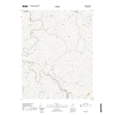
2019 Map of Webb
USGS Topo · Published 2019About this map
The Tug Fork river defines the winding western border of this region, separating Wayne County, West Virginia, from Lawrence and Martin counties in Kentucky. The landscape is dominated by a dense network of narrow hollows and ridges, such as Millhouse Hollow and Tick Ridge, where small communities like Webb, Crum, and Tripp are situated along the valley floors. Transport is primarily dictated by the river and the path of Us Rte 52, which links the dispersed settlements of Hode and Breezy Gap. Genealogists will find a high concentration of family burial grounds throughout these hills, including Chaffin Cem, Sammons Cem, and Marcum Cem. The map illustrates the persistent pattern of ridge-and-valley habitation where local life follows the drainages of Jennie Cr and Bull Cr.
Find a feature on this map
124 named features on this map. Tap any name to fly to it.
Don’t see what you’re looking for? This feature index may not catch every label — zoom into the map to look around manually.
Map Details
Editions of this 2019 Webb Map
This is the sole edition of this map. No revisions or reprints were ever made.
Other maps of this area

1886 · Prestonsburg
USGS Topo · 1:125,000

1887 · Warfield
USGS Topo · 1:125,000

1891 · Warfield
USGS Topo · 1:125,000

1892 · Prestonsburg
USGS Topo · 1:125,000

1892 · Huntington
USGS Topo · 1:125,000

1898 · Huntington
USGS Topo · 1:125,000

1903 · Kenova
USGS Topo · 1:125,000

1904 · Kenova
USGS Topo · 1:125,000

1909 · Wayne
USGS Topo · 1:62,500

1910 · Naugatuck
USGS Topo · 1:48,000