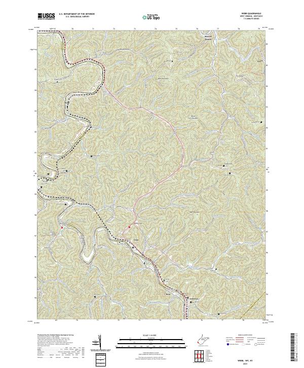
2023 Map of Webb
USGS Topo · Published 2023About this map
The Tug Fork river defines the western boundary of this landscape, carving a deep valley that separates Wayne County, West Virginia, from Lawrence County, Kentucky. The settlement of Webb sits along this river corridor, while the inland terrain is dominated by high ridges like Wells Mountain and Bull Mountain. These heights are intersected by numerous hollows and creeks, including Coon Creek and Bull Creek, creating the characteristic dissected topography of the region.
Find a feature on this map
124 named features on this map. Tap any name to fly to it.
Don’t see what you’re looking for? This feature index may not catch every label — zoom into the map to look around manually.
Map Details
Editions of this 2023 Webb Map
This is the sole edition of this map. No revisions or reprints were ever made.
Other maps of this area

1886 · Prestonsburg
USGS Topo · 1:125,000

1887 · Warfield
USGS Topo · 1:125,000

1891 · Warfield
USGS Topo · 1:125,000

1892 · Prestonsburg
USGS Topo · 1:125,000

1892 · Huntington
USGS Topo · 1:125,000

1898 · Huntington
USGS Topo · 1:125,000

1903 · Kenova
USGS Topo · 1:125,000

1904 · Kenova
USGS Topo · 1:125,000

1909 · Wayne
USGS Topo · 1:62,500

1910 · Naugatuck
USGS Topo · 1:48,000