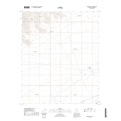
2018 Map of Webber Canyon
USGS Topo · Published 2018About this map
The Harcuvar Mountains dominate the northern portion of this landscape, their steep slopes giving way to the alluvial spread of the McMullen Valley to the south. This transition is marked by the drainage of Webber Canyon, which cuts through the highlands before opening onto the desert floor. The map highlights a localized water management system at the Miller Reservoir, a critical feature in this arid environment where drainage patterns define the utility of the land. Human activity is focused along the southern edges of the mountains, where Urea Ranch Rd provides access across the valley floor, connecting remote ranching interests to the wider region. This survey captures the topographical contrast between the high mountain ridges and the broad, flat reaches of the valley as they existed in the early 21st century.
Find a feature on this map
11 named features on this map. Tap any name to fly to it.
Don’t see what you’re looking for? This feature index may not catch every label — zoom into the map to look around manually.
Map Details
Editions of this 2018 Webber Canyon Map
This is the sole edition of this map. No revisions or reprints were ever made.
Other maps of this area

1923 · Signal
USGS Topo · 1:250,000

1942 · Signal
USGS Topo · 1:250,000

1942 · Vicksburg
USGS Topo · 1:250,000

1950 · Prescott
USGS Topo · 1:250,000

1954 · Prescott
USGS Topo · 1:250,000

1954 · Phoenix
USGS Topo · 1:250,000

1957 · Phoenix
USGS Topo · 1:250,000

1958 · Prescott
USGS Topo · 1:250,000

1958 · Phoenix
USGS Topo · 1:250,000

1959 · Prescott
USGS Topo · 1:250,000