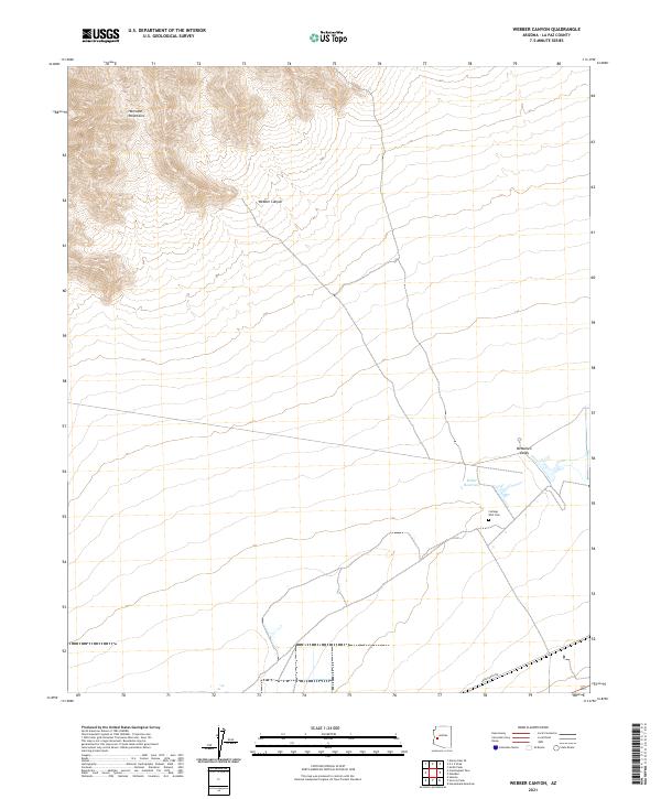
2021 Map of Webber Canyon
USGS Topo · Published 2021About this map
The Harcuvar Mountains dominate the northern landscape of this Arizona quadrangle, where the descent into the McMullen Valley creates a stark transition between highland terrain and the desert floor. This topography is defined by the drainage of Webber Canyon, which cuts through the range towards the lower valley. Local history is anchored by the Cullings Well Cem, a small but significant site that points to the early ranching and travel history of the region. Nearby, Miller Reservoir suggests the critical importance of water management in this arid environment. The presence of Urea Ranch Rd in the south provides a modern connection to the land-use patterns that have sustained this portion of La Paz County for decades, balancing natural drainage features with isolated rural infrastructure.
Find a feature on this map
12 named features on this map. Tap any name to fly to it.
Don’t see what you’re looking for? This feature index may not catch every label — zoom into the map to look around manually.
Map Details
Editions of this 2021 Webber Canyon Map
This is the sole edition of this map. No revisions or reprints were ever made.
Other maps of this area

1923 · Signal
USGS Topo · 1:250,000

1942 · Signal
USGS Topo · 1:250,000

1942 · Vicksburg
USGS Topo · 1:250,000

1950 · Prescott
USGS Topo · 1:250,000

1954 · Prescott
USGS Topo · 1:250,000

1954 · Phoenix
USGS Topo · 1:250,000

1957 · Phoenix
USGS Topo · 1:250,000

1958 · Prescott
USGS Topo · 1:250,000

1958 · Phoenix
USGS Topo · 1:250,000

1959 · Prescott
USGS Topo · 1:250,000