Loading...
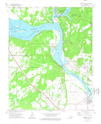
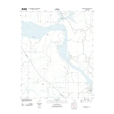
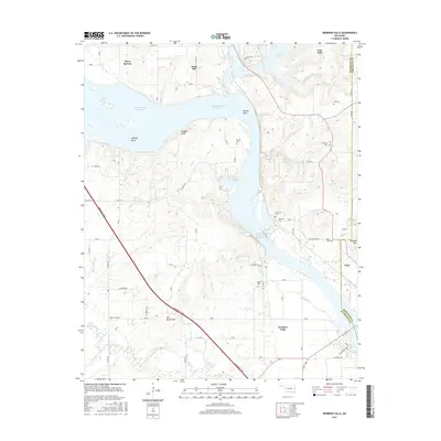
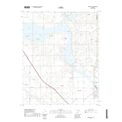
Loading map...1974 Map of Webbers Falls
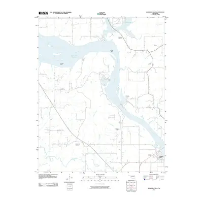
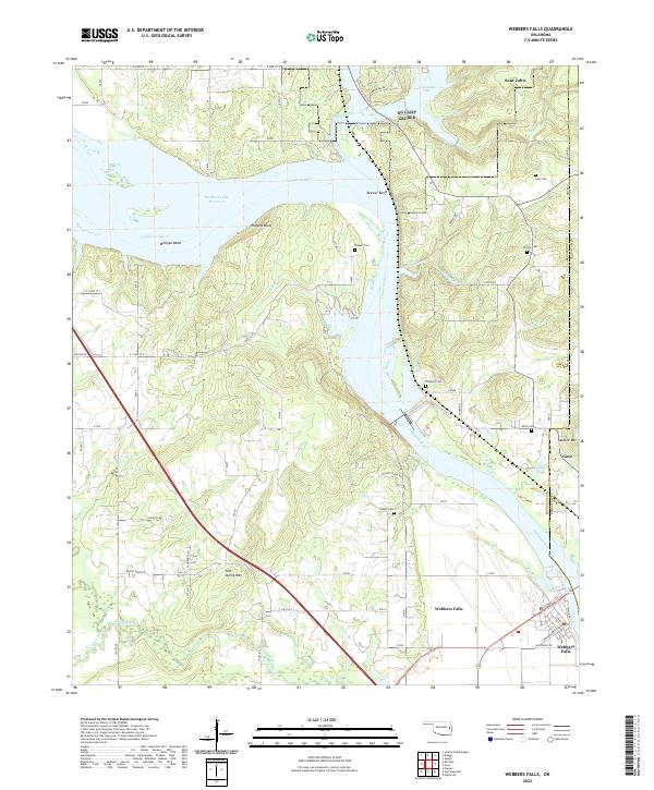
USGS Topo · Published 1978About this map
The Arkansas River serves as the central artery for this portion of eastern Oklahoma, where the massive engineering of the Webbers Falls Lock and Dam and the associated Powerplant manage the river's flow. The landscape is defined by the transition between the Webbers Falls Reservoir and the Robert S. Kerr Reservoir, creating a complex of backwaters and bends such as Brewer Bend and Milligan Bend.
Find a feature on this map
57 named features on this map. Tap any name to fly to it.
Don’t see what you’re looking for? This feature index may not catch every label — zoom into the map to look around manually.
Map Details
Date Portrayed1974
Date Published1978
PublisherU.S. Geological Survey
Map TypeTopographic
Scale1:24,000
Physical Dimensions22.4 x 27.3 inches
Editions of this 1974 Webbers Falls Map
This is the sole edition of this map. No revisions or reprints were ever made.
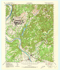
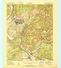
Historical Maps of Gore Through Time
8 maps found
Featured Locations
Source Details
SourceU.S. Geological Survey
CopyrightPublic Domain