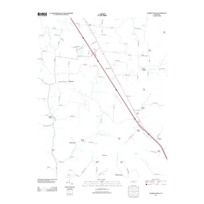
2013 Map of Webbs Jungle
USGS Topo · Published 2013About this map
Beechwood and Webbs Jungle anchor this Tennessee landscape, where the terrain transitions through a series of named gaps and hollows. The Middle Fork Stones River carves a path through the center of the sheet, paralleled by a major modern transportation corridor that cuts past Hoovers Gap. The area is characterized by localized agricultural settlements like Big Springs and Plainview, alongside specialized infrastructure such as the Cedar Glade Aerodrome. Local geography is deeply defined by significant rises and depressions, including Pilot Knob, Jungle Ridge, and Dismal Hollow. Smaller watercourses like Wartrace Cr and Hurricane Cr drain the surrounding heights, which are dotted with family-named locations such as Todd Hollow and Kelton Hollow. This 2013 survey provides a contemporary record of these rural communities and the persistent topographical features that have shaped development in this portion of the state for generations.
Find a feature on this map
104 named features on this map. Tap any name to fly to it.
Don’t see what you’re looking for? This feature index may not catch every label — zoom into the map to look around manually.
Map Details
Editions of this 2013 Webbs Jungle Map
This is the sole edition of this map. No revisions or reprints were ever made.
Other maps of this area

1908 · Woodbury
USGS Topo · 1:62,500

1913 · Hollow Springs
USGS Topo · 1:62,500

1916 · Murfreesboro
USGS Topo · 1:62,500

1936 · Webbs Jungle
USGS Topo · 1:24,000

1936 · Deason
USGS Topo · 1:24,000

1936 · Beech Grove
USGS Topo · 1:24,000

1936 · Noah
USGS Topo · 1:24,000

1936 · Wartrace
USGS Topo · 1:24,000

1936 · Fosterville
USGS Topo · 1:24,000

1942 · Statesville
USGS Topo · 1:100,000