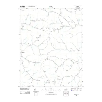
2010 Map of Webbville
USGS Topo · Published 2010About this map
Webbville and the surrounding Lawrence County countryside are defined by a complex network of narrow hollows and ridge-top gaps. The drainage of the East Fork Little Sandy River dictates the settlement pattern, with small communities like Glenwood and Sandy Furnace situated near key watercourses. The landscape is deeply etched with family history, visible in the numerous small burial grounds such as Ratcliff Cemetery, Coburn Cemetery, and the James C Webb Cemetery. These sites are often found near named hollows like Hickory Log Hollow and Dead Man Hollow, which suggest long-standing local nomenclature. Transportation across this terrain relies on passages like Brammer Gap and Cherokee Gap. Industrial history is represented by the Sandy Furnace label and modern indicators like Strip Mine Rd, pointing to the region's historical and contemporary ties to mineral extraction and processing.
Find a feature on this map
111 named features on this map. Tap any name to fly to it.
Don’t see what you’re looking for? This feature index may not catch every label — zoom into the map to look around manually.
Map Details
Editions of this 2010 Webbville Map
This is the sole edition of this map. No revisions or reprints were ever made.
Other maps of this area

1901 · Ceredo
USGS Topo · 1:62,500

1903 · Kenova
USGS Topo · 1:125,000

1904 · Kenova
USGS Topo · 1:125,000

1911 · Louisa
USGS Topo · 1:48,000

1913 · Ceredo
USGS Topo · 1:62,500

1913 · Louisa
USGS Topo · 1:62,500

1939 · Louisa
USGS Topo · 1:62,500

1953 · Grayson
USGS Topo · 1:24,000

1953 · Rush
USGS Topo · 1:24,000

1953 · Boltsfork
USGS Topo · 1:24,000