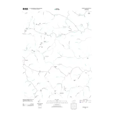
2013 Map of Webbville
USGS Topo · Published 2013About this map
Webbville and the community of Glenwood anchor this landscape, where the E Fork Little Sandy River carves through a territory defined by hollows and ridges. This map captures a rural Kentucky landscape characterized by numerous family burial grounds, reflecting deep generational ties to the land through sites like James C Webb Cem, Ratcliff Cem, and Taylor Cem. The terrain is marked by distinctive named features such as Winding Stair and Brammer Gap, which historically influenced the path of local travel.
Find a feature on this map
135 named features on this map. Tap any name to fly to it.
Don’t see what you’re looking for? This feature index may not catch every label — zoom into the map to look around manually.
Map Details
Editions of this 2013 Webbville Map
This is the sole edition of this map. No revisions or reprints were ever made.
Other maps of this area

1901 · Ceredo
USGS Topo · 1:62,500

1903 · Kenova
USGS Topo · 1:125,000

1904 · Kenova
USGS Topo · 1:125,000

1911 · Louisa
USGS Topo · 1:48,000

1913 · Ceredo
USGS Topo · 1:62,500

1913 · Louisa
USGS Topo · 1:62,500

1939 · Louisa
USGS Topo · 1:62,500

1953 · Grayson
USGS Topo · 1:24,000

1953 · Rush
USGS Topo · 1:24,000

1953 · Boltsfork
USGS Topo · 1:24,000