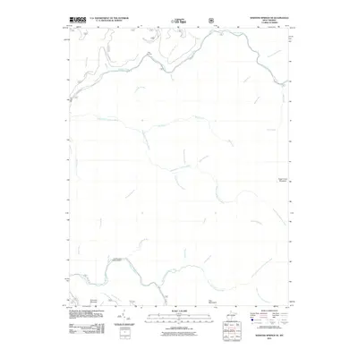
2011 Map of Webster Springs SE
USGS Topo · Published 2011About this map
Williams River and the North Fork Cranberry River define the northern and southern boundaries of this heavily dissected Appalachian landscape in Webster County. The drainage patterns revealed here suggest a deeply carved wilderness, where smaller tributaries like the aptly named Hell for Certain Branch and Hateful Run feed into the larger river systems. Settlement is sparse, limited primarily to the northern area near Twin Branches.
Find a feature on this map
39 named features on this map. Tap any name to fly to it.
Don’t see what you’re looking for? This feature index may not catch every label — zoom into the map to look around manually.
Map Details
Editions of this 2011 Webster Springs SE Map
This is the sole edition of this map. No revisions or reprints were ever made.
Other maps of this area

1891 · Huntersville
USGS Topo · 1:125,000

1894 · Huntersville
USGS Topo · 1:125,000

1915 · Webster Springs
USGS Topo · 1:48,000

1918 · Webster Springs
USGS Topo · 1:62,500

1923 · Lobelia
USGS Topo · 1:48,000

1923 · Marlinton
USGS Topo · 1:48,000

1923 · Mingo
USGS Topo · 1:48,000

1925 · Mingo
USGS Topo · 1:62,500

1925 · Marlinton
USGS Topo · 1:62,500

1925 · Lobelia
USGS Topo · 1:62,500