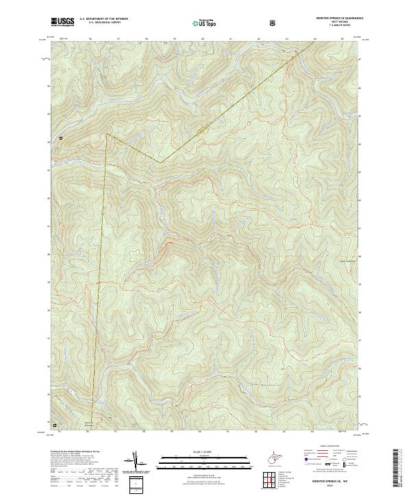
2023 Map of Webster Springs SE
USGS Topo · Published 2023About this map
The Webster Co Pocahontas Co boundary cuts across this highland landscape, defined by the drainage basins of the Williams River and Cranberry River. This is a territory of high ridges and deep hollows, dominated by the Yew Mountains and the Kennison Mountains in the south. The complex hydrography includes curiously named features like Hell For Certain Branch and Bannock Shoals Run, illustrating the linguistic heritage of the central Appalachian interior. A dense network of primitive paths, including the North South Trl and Middle Fork Trl, provides the primary means of navigating the steep grades between Sugar Creek Mtn and the various forks of the river systems. The absence of modern roads highlights the secluded nature of this wilderness area at the headwaters of the North Fork Cranberry River.
Find a feature on this map
48 named features on this map. Tap any name to fly to it.
Don’t see what you’re looking for? This feature index may not catch every label — zoom into the map to look around manually.
Map Details
Editions of this 2023 Webster Springs SE Map
This is the sole edition of this map. No revisions or reprints were ever made.
Other maps of this area

1891 · Huntersville
USGS Topo · 1:125,000

1894 · Huntersville
USGS Topo · 1:125,000

1915 · Webster Springs
USGS Topo · 1:48,000

1918 · Webster Springs
USGS Topo · 1:62,500

1923 · Lobelia
USGS Topo · 1:48,000

1923 · Marlinton
USGS Topo · 1:48,000

1923 · Mingo
USGS Topo · 1:48,000

1925 · Mingo
USGS Topo · 1:62,500

1925 · Marlinton
USGS Topo · 1:62,500

1925 · Lobelia
USGS Topo · 1:62,500