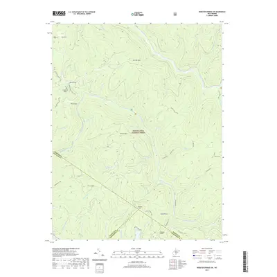
2019 Map of Webster Springs SW
USGS Topo · Published 2019About this map
Blacks Chapel Cem sits on the northern edge of this high-elevation landscape, where the borders of Webster, Nicholas, and Greenbrier counties converge within the Monongahela National Forest. The area is defined by a complex drainage system where the Williams River and Cranberry River carve through the plateau, fed by numerous tributaries like Jonathan Run and Big Laurel Cr. A network of trails, including the Cranberry Ridge Trail and Adkins Rockhouse Trail, provides access to the high ground at Bishop Knob and Mills Mtn. In the south, Summit Lake serves as a significant water feature near Pheasant Hollow, while landmarks like Hanging Rock and Snakeden Mtn highlight the deep-cut topography. This survey captures a moment in the 21st century where the landscape is largely dedicated to conservation and recreation, evidenced by the extensive trail systems and protected forest lands.
Find a feature on this map
61 named features on this map. Tap any name to fly to it.
Don’t see what you’re looking for? This feature index may not catch every label — zoom into the map to look around manually.
Map Details
Editions of this 2019 Webster Springs SW Map
This is the sole edition of this map. No revisions or reprints were ever made.
Other maps of this area

1889 · Nicholas
USGS Topo · 1:125,000

1891 · Nicholas
USGS Topo · 1:125,000

1891 · Huntersville
USGS Topo · 1:125,000

1894 · Huntersville
USGS Topo · 1:125,000

1901 · Nicholas
USGS Topo · 1:125,000

1915 · Webster Springs
USGS Topo · 1:48,000

1915 · Cowen
USGS Topo · 1:48,000

1917 · Cowen
USGS Topo · 1:62,500

1918 · Webster Springs
USGS Topo · 1:62,500

1918 · Richwood
USGS Topo · 1:62,500