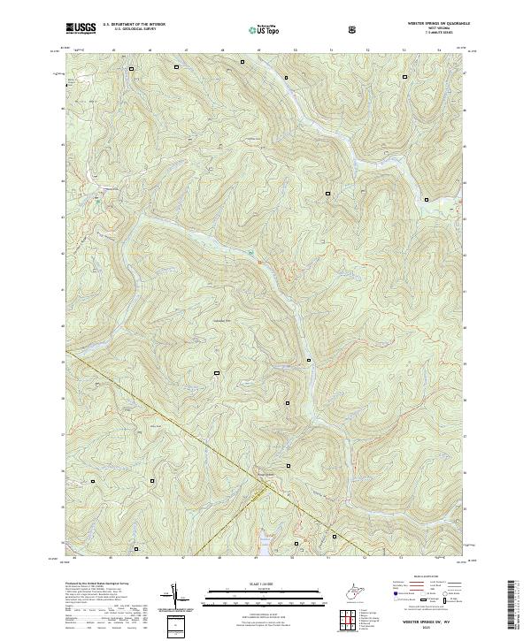
2023 Map of Webster Springs SW
USGS Topo · Published 2023About this map
Blacks Chapel Cem sits on the northwestern edge of this landscape, marking a point of long-standing local heritage in a terrain dominated by the deep incisions of the Williams River and Cranberry River. This 2023 survey by the U.S. Geological Survey illustrates a heavily dissected plateau where high points like Mills Mtn, Snakeden Mtn, and Briery Knob are separated by an intricate network of drainages including Aldrich Branch and Foxtree Run.
Find a feature on this map
56 named features on this map. Tap any name to fly to it.
Don’t see what you’re looking for? This feature index may not catch every label — zoom into the map to look around manually.
Map Details
Editions of this 2023 Webster Springs SW Map
This is the sole edition of this map. No revisions or reprints were ever made.
Other maps of this area

1889 · Nicholas
USGS Topo · 1:125,000

1891 · Nicholas
USGS Topo · 1:125,000

1891 · Huntersville
USGS Topo · 1:125,000

1894 · Huntersville
USGS Topo · 1:125,000

1901 · Nicholas
USGS Topo · 1:125,000

1915 · Webster Springs
USGS Topo · 1:48,000

1915 · Cowen
USGS Topo · 1:48,000

1917 · Cowen
USGS Topo · 1:62,500

1918 · Webster Springs
USGS Topo · 1:62,500

1918 · Richwood
USGS Topo · 1:62,500