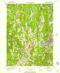
1953 Map of Webster
USGS Topo · Published 1957About this map
Quinebaug River and French River define the industrial and agricultural landscape of this south-central Massachusetts and northern Connecticut borderland. In the early 1950s, the town of Webster serves as a hub of activity, where the Boston and Albany RR and the New York New Haven and Hartford RR intersect near dense residential pockets like North Village and Chaseville. The presence of Nichols College in Dudley anchors the educational character of the region, while the surrounding landscape is dotted with local institutions like Parker Sch and Chandler Sch. Smaller hamlets such as West Oxford and Wilsonville maintain their distinct identities amidst a network of water bodies, including Granite Reservoir and Merino Pond. This survey, revised from 1940s field work, documents the transition from traditional water-powered valley settlements to a more connected mid-century roadway system featuring U.S. 20 and Mass 131.
Find a feature on this map
72 named features on this map. Tap any name to fly to it.
Don’t see what you’re looking for? This feature index may not catch every label — zoom into the map to look around manually.
Map Details
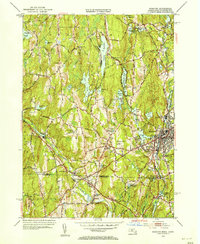
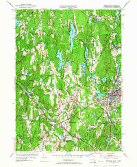
Editions of this 1953 Webster Map
3 editions found
Other maps of this area

1887 · Brookfield
USGS Topo · 1:62,500

1889 · Webster
USGS Topo · 1:62,500

1889 · Putnam
USGS Topo · 1:62,500

1890 · Brookfield
USGS Topo · 1:62,500

1892 · Woodstock
USGS Topo · 1:62,500

1892 · Webster
USGS Topo · 1:62,500

1893 · Putnam
USGS Topo · 1:62,500

1893 · Brookfield
USGS Topo · 1:62,500

1908 · Quinsigamond
USGS Topo · 1:125,000

1908 · Ware
USGS Topo · 1:125,000