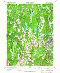
1953 Map of Webster
USGS Topo · Published 1966About this map
The French River and the Providence and Worcester railroad corridor anchor the industrial and residential heart of Webster, Massachusetts, during the early 1950s. This survey reveals a landscape where water power and transportation shaped community growth, visible in the dense cluster of settlements like North Village and Chaseville. Higher education and local heritage are represented by the presence of Nichols College in Dudley and several burial grounds, including the Village Cem and Corbin Cem.
Find a feature on this map
95 named features on this map. Tap any name to fly to it.
Don’t see what you’re looking for? This feature index may not catch every label — zoom into the map to look around manually.
Map Details
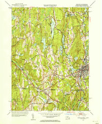
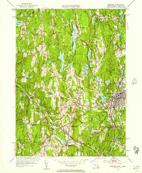
Editions of this 1953 Webster Map
3 editions found
Other maps of this area

1887 · Brookfield
USGS Topo · 1:62,500

1889 · Webster
USGS Topo · 1:62,500

1889 · Putnam
USGS Topo · 1:62,500

1890 · Brookfield
USGS Topo · 1:62,500

1892 · Woodstock
USGS Topo · 1:62,500

1892 · Webster
USGS Topo · 1:62,500

1893 · Putnam
USGS Topo · 1:62,500

1893 · Brookfield
USGS Topo · 1:62,500

1908 · Quinsigamond
USGS Topo · 1:125,000

1908 · Ware
USGS Topo · 1:125,000