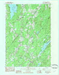
1982 Map of Weeks Mills
USGS Topo · Published 1983About this map
Threemile Pond and Long Pond anchor the landscape of this Kennebec County region, where the West Branch Sheepscot River winds southward through agricultural and wooded terrain. The settlement of Windsor serves as a central hub, flanked by smaller hamlets like Windsorville, South Windsor, and Windsor Station. This 1982 provisional survey captures the area's educational and social infrastructure, notably featuring the Erskine Academy and the sprawling Windsor Fairgrounds. Local genealogy is well-documented through numerous family-named landmarks and burial grounds, including Chadwick Hill Cem, Resthaven Cem, and Windsor Neck Cem. To the south, Coopers Mills sits near the crossing of the river, while the northeastern corner is defined by the high ground of Windsor Neck Hill and Deer Hill. The map detail reveals a rural economy supported by local Gravel Pits and connected by historic routes like Dearborn Road.
Find a feature on this map
46 named features on this map. Tap any name to fly to it.
Don’t see what you’re looking for? This feature index may not catch every label — zoom into the map to look around manually.
Map Details
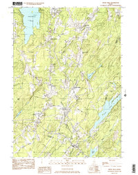
Editions of this 1982 Weeks Mills Map
2 editions found
Other maps of this area

1893 · Vassalboro
USGS Topo · 1:62,500

1893 · Wiscasset
USGS Topo · 1:62,500

1898 · Vassalboro
USGS Topo · 1:62,500

1913 · Waldoboro
USGS Topo · 1:48,000

1915 · Waldoboro
USGS Topo · 1:62,500

1916 · Liberty
USGS Topo · 1:62,500

1941 · Waldoboro
USGS Topo · 1:62,500

1941 · Vassalboro
USGS Topo · 1:62,500

1942 · Liberty
USGS Topo · 1:62,500

1943 · Vassalboro
USGS Topo · 1:62,500