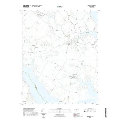
2019 Map of Weeksville
USGS Topo · Published 2019About this map
The coastal lowlands of Pasquotank County meet the northern shores of Albemarle Sound in this detailed survey. The landscape is defined by the deep fingers of Newbegun Creek, Symonds Creek, and Big Flatty Creek, which carve into the agricultural plains. Small agricultural hubs like Weeksville, Salem, and Winslow serve as the primary anchors for a network of rural roads and family tracts. The map provides significant genealogical value, documenting numerous private burial grounds such as the Meads - Jackson - Cartwright Plot and the Pool Family Cem. Religious history is preserved through markers for the Newbegun Creek Quaker Cem and multiple Methodist and Baptist church sites. Local aviation is represented by Meadstown Airstrip and Fletcher's Airport, showing how these coastal communities maintained connectivity beyond the traditional water routes of the Little River.
Find a feature on this map
98 named features on this map. Tap any name to fly to it.
Don’t see what you’re looking for? This feature index may not catch every label — zoom into the map to look around manually.
Map Details
Editions of this 2019 Weeksville Map
This is the sole edition of this map. No revisions or reprints were ever made.
Other maps of this area

1906 · Hertford
USGS Topo · 1:62,500

1940 · Hertford
USGS Topo · 1:62,500

1940 · Wade Point
USGS Topo · 1:62,500

1940 · South Mills
USGS Topo · 1:62,500

1943 · Wade Point
USGS Topo · 1:62,500

1948 · Wade Point
USGS Topo · 1:62,500

1948 · Elizabeth City
USGS Topo · 1:62,500

1952 · South Mills
USGS Topo · 1:62,500

1953 · Norfolk
USGS Topo · 1:250,000

1982 · Nixonton
USGS Topo · 1:24,000