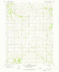
1956 Map of Weeping Water NE
USGS Topo · Published 1976About this map
Eight Mile Grove and Mount Pleasant define the rural character of this mid-century landscape in Cass County. The area is characterized by a dense network of one-room schoolhouses that served the surrounding agricultural community, including Glendale Sch, Fairview Sch, and Sunnyside Sch. These local institutions were strategically placed among the rolling terrain and seasonal watercourses such as Turkey Creek and Bachelor Branch.
Find a feature on this map
18 named features on this map. Tap any name to fly to it.
Don’t see what you’re looking for? This feature index may not catch every label — zoom into the map to look around manually.
Map Details
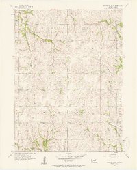
Editions of this 1956 Weeping Water NE Map
2 editions found
Other maps of this area

1893 · Fremont
USGS Topo · 1:125,000

1896 · Fremont
USGS Topo · 1:125,000

1903 · Weeping Water
USGS Topo · 1:125,000

1929 · Weeping Water
USGS Topo · 1:125,000

1935 · Nehawka
USGS Topo · 1:48,000

1940 · Nehawka
USGS Topo · 1:62,500

1954 · Omaha
USGS Topo · 1:250,000

1955 · Fremont
USGS Topo · 1:250,000

1955 · Nebraska City
USGS Topo · 1:250,000

1955 · Lincoln
USGS Topo · 1:250,000