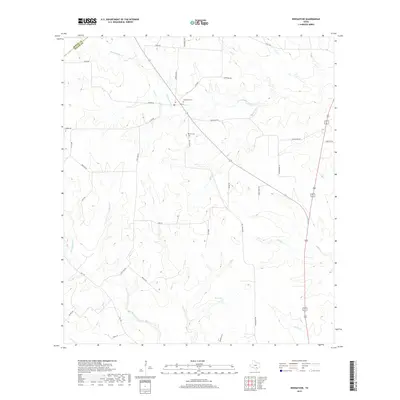
2019 Map of Weesatche
USGS Topo · Published 2019About this map
The boundary between DeWitt and Goliad counties cuts across the northwest corner of this South Texas landscape, where the rural community of Weesatche is centered around Main St. Local history and genealogy are anchored at Woodlawn Cem and Barnes Cem, two significant landmarks situated near the central drainage of Eighteenmile Cr. The terrain is defined by a dense network of seasonal creek beds, including Hog Cr, Cous Cr, and Manahuilla Cr, which flow toward Dye Lake and Whaley Hollow. This map documents a ranching and agricultural landscape tied together by a web of named family roads like Dornburg Rd, Hallemann Rd, and Afflerbach Rd, which reflect the settlement patterns of the region's long-established residents.
Find a feature on this map
39 named features on this map. Tap any name to fly to it.
Don’t see what you’re looking for? This feature index may not catch every label — zoom into the map to look around manually.
Map Details
Editions of this 2019 Weesatche Map
This is the sole edition of this map. No revisions or reprints were ever made.
Other maps of this area

1953 · Beeville
USGS Topo · 1:250,000

1956 · Beeville
USGS Topo · 1:250,000

1960 · Beeville
USGS Topo · 1:250,000

1962 · Hensley Lake
USGS Topo · 1:24,000

1962 · Goliad
USGS Topo · 1:24,000

1963 · Meyersville
USGS Topo · 1:24,000

1963 · Weesatche
USGS Topo · 1:24,000
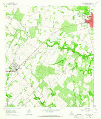
1963 · Yorktown West
USGS Topo · 1:24,000
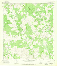
1963 · Runge SE
USGS Topo · 1:24,000
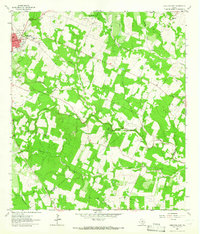
1963 · Yorktown East
USGS Topo · 1:24,000