
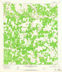
1963 Map of Weesatche
USGS Topo · Published 1965About this map
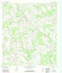
Weesatche serves as the focal point of this South Texas landscape in the early 1960s, situated along the crossing of the De Witt and Goliad county lines. The area is characterized by an extensive network of petroleum extraction, with the Gottschalt Gas Field, Weesatche Gas Field, and Marshall Gas Field defining much of the local economy and land use. Small family-named landmarks like Barnes and Post Oak appear alongside rural community centers such as St Andrews Ch and the Woodlawn Cem.
Find a feature on this map
23 named features on this map. Tap any name to fly to it.
Don’t see what you’re looking for? This feature index may not catch every label — zoom into the map to look around manually.
Map Details
Editions of this 1963 Weesatche Map
2 editions found
Other maps of this area

1953 · Beeville
USGS Topo · 1:250,000

1956 · Beeville
USGS Topo · 1:250,000

1960 · Beeville
USGS Topo · 1:250,000

1962 · Hensley Lake
USGS Topo · 1:24,000

1962 · Goliad
USGS Topo · 1:24,000

1963 · Meyersville
USGS Topo · 1:24,000
1963 · Yorktown West
USGS Topo · 1:24,000
1963 · Runge SE
USGS Topo · 1:24,000
1963 · Yorktown East
USGS Topo · 1:24,000
1963 · Ander
USGS Topo · 1:24,000