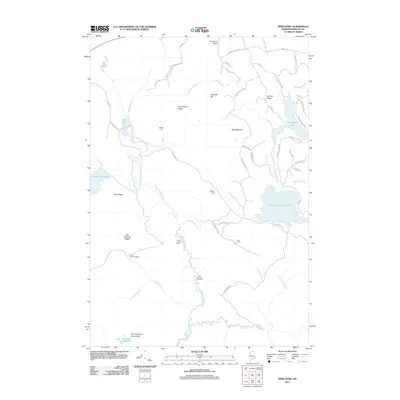
2011 Map of Weir Pond
USGS Topo · Published 2011About this map
The Passadumkeag River system dominates this northern Maine landscape, characterized by a complex network of waterways including the East Br Passadumkeag River and West Branch Passadumkeag River. This 2011 survey reveals a region defined by commercial timber history and remote seasonal outposts, evidenced by names like Camp Number Nine and Camp Number Eleven. The terrain transitions from the low-lying One Thousand Acre Heath in the south to prominent elevations such as Oak Mountain and Granite Ridge in the north. Settlement is sparse, with isolated locations like Budge Farm and Carry Farm standing alongside modern logging access routes such as Clearcut Lodge Rd and Treadwell Hill Rd. The map also captures significant water bodies like Upper Sysladobsis Lake and Lombard Lake, which feed the local streams that eventually reach The Oxbow.
Find a feature on this map
63 named features on this map. Tap any name to fly to it.
Don’t see what you’re looking for? This feature index may not catch every label — zoom into the map to look around manually.
Map Details
Editions of this 2011 Weir Pond Map
This is the sole edition of this map. No revisions or reprints were ever made.
Other maps of this area

1920 · Winn
USGS Topo · 1:62,500

1931 · Springfield
USGS Topo · 1:48,000

1931 · Saponac
USGS Topo · 1:48,000

1932 · Nicatous Lake
USGS Topo · 1:48,000

1934 · Saponac
USGS Topo · 1:62,500

1934 · Nicatous Lake
USGS Topo · 1:62,500

1934 · Springfield
USGS Topo · 1:62,500

1954 · Millinocket
USGS Topo · 1:250,000

1957 · Saponac
USGS Topo · 1:62,500

1958 · Millinocket
USGS Topo · 1:250,000