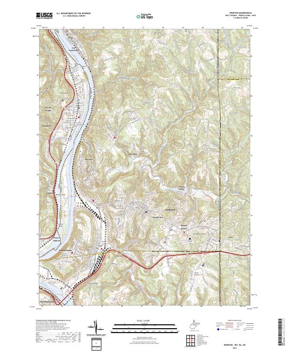
2023 Map of Weirton
USGS Topo · Published 2023About this map
The Ohio River corridor serves as the industrial and geographic anchor of this region, separating Toronto and Steubenville in Ohio from the sprawling residential and commercial districts of Weirton, West Virginia. The map details the complex urban topography of the northern panhandle, where neighborhoods like Marland Heights, Weircrest, and Weirton Heights occupy the plateau above the river valley. The dense street grids of these hillside communities contrast with the more rural character of the eastern borderlands near Paris, Pennsylvania.
Find a feature on this map
208 named features on this map. Tap any name to fly to it.
Don’t see what you’re looking for? This feature index may not catch every label — zoom into the map to look around manually.
Map Details
Editions of this 2023 Weirton Map
This is the sole edition of this map. No revisions or reprints were ever made.
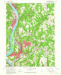
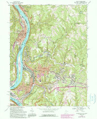
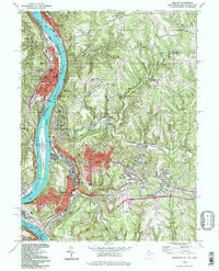
Historical Maps of Fairview Heights Through Time
4 maps found