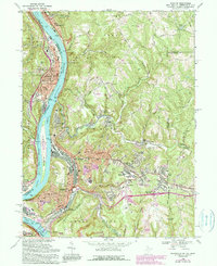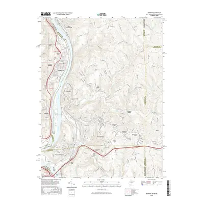
1958 Map of Weirton
USGS Topo · Published 1965About this map
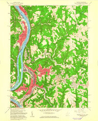
Industrial expansion and post-war residential growth define this mid-century landscape along the Ohio River. The city of Weirton serves as the central hub, with established neighborhoods like Marland Heights and Vermont Terrace flanking the river valley while newer developments such as Weirton Heights push eastward into the hills. This era shows the dense concentration of civic life around City Hall and the Weirton General Hospital, while the river itself remains the primary corridor for the Pennsylvania railroad and heavy infrastructure.
Find a feature on this map
86 named features on this map. Tap any name to fly to it.
Don’t see what you’re looking for? This feature index may not catch every label — zoom into the map to look around manually.
Map Details
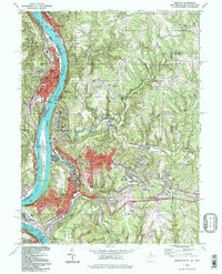
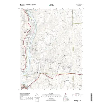
Editions of this 1958 Weirton Map
2 editions found
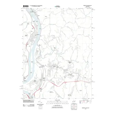
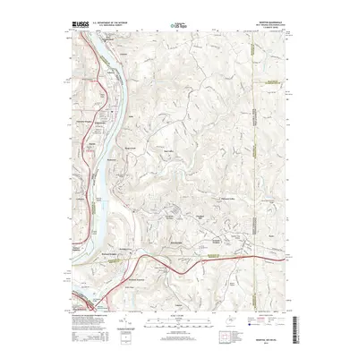
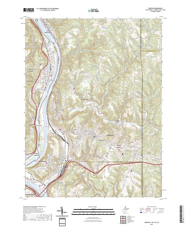
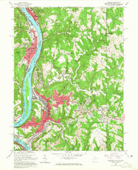
Historical Maps of Weirton Through Time
8 maps found