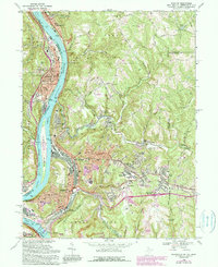
1968 Map of Weirton
USGS Topo · Published 1990About this map
Industrial developments along the Ohio River define this mid-century portrait of the tri-state border. The heavy footprint of Weirton dominates the landscape, featuring extensive residential expansion into Weirton Heights and the hilltop neighborhood of Marland Heights. The valley floor is tightly packed with the infrastructure of the steel era, including the Pennsylvania Railroad and various filtration plants. Across the river, Toronto shows a dense grid of streets like Main St and Trenton St, while the northern reaches near New Cumberland maintain a mix of municipal utility sites and hilly terrain. A notable environmental detail is the presence of a Reclaimed Strip Mine near Harmon Creek, reflecting the region's transition from active extraction to land management. Local heritage is preserved in sites such as St Pauls Cem and the Old Meridian Monument near the state line.
Find a feature on this map
72 named features on this map. Tap any name to fly to it.
Don’t see what you’re looking for? This feature index may not catch every label — zoom into the map to look around manually.
Map Details
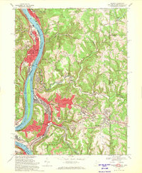
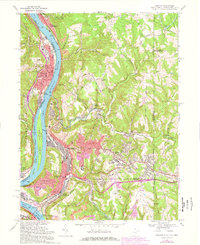
Editions of this 1968 Weirton Map
3 editions found
Other maps of this area

1901 · Beaver
USGS Topo · 1:62,500

1904 · Wellsville
USGS Topo · 1:62,500

1904 · Steubenville
USGS Topo · 1:62,500

1904 · Beaver
USGS Topo · 1:62,500

1904 · Burgettstown
USGS Topo · 1:62,500

1906 · Burgettstown
USGS Topo · 1:62,500

1935 · Steubenville
USGS Topo · 1:62,500

1937 · Wellsville
USGS Topo · 1:62,500

1942 · Steubenville
USGS Topo · 1:62,500

1944 · Wellsville
USGS Topo · 1:62,500