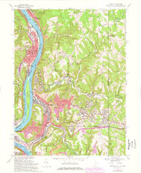
1968 Map of Weirton
USGS Topo · Published 1978About this map
The industrial core of the upper Ohio Valley is showcased here during the late 1960s, a period of significant urban density for the Weirton and Toronto area. Following the bend of the Ohio River, the map captures the concentration of heavy industry and civil infrastructure, including multiple substations, a Filtration Plant, and the extensive Penn Central rail network serving the riverfront. Residential growth is evident in the hillside developments of Weirton Heights and Marland Heights, while the inclusion of the College of Steubenville and Madonna High Sch reflects the mid-century social framework of these steel towns.
Find a feature on this map
78 named features on this map. Tap any name to fly to it.
Don’t see what you’re looking for? This feature index may not catch every label — zoom into the map to look around manually.
Map Details
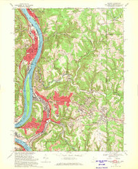
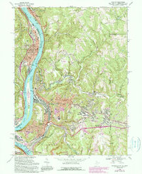
Editions of this 1968 Weirton Map
3 editions found
Other maps of this area

1901 · Beaver
USGS Topo · 1:62,500

1904 · Wellsville
USGS Topo · 1:62,500

1904 · Steubenville
USGS Topo · 1:62,500

1904 · Beaver
USGS Topo · 1:62,500

1904 · Burgettstown
USGS Topo · 1:62,500

1906 · Burgettstown
USGS Topo · 1:62,500

1935 · Steubenville
USGS Topo · 1:62,500

1937 · Wellsville
USGS Topo · 1:62,500

1942 · Steubenville
USGS Topo · 1:62,500

1944 · Wellsville
USGS Topo · 1:62,500