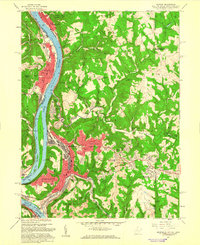
1958 Map of Weirton
USGS Topo · Published 1960About this map
The industrial corridor of the upper Ohio Valley is captured here in the late 1950s, centered on the expansion of Weirton and Toronto. The map documents the dense residential neighborhoods rising on the plateaus above the river, such as Vermont Terrace and Marland Heights, while heavy industry and the Pennsylvania railroad line the narrow riverbanks. This period shows a complex network of company housing and suburban development, with many schools and churches, including Madonna High Sch and St Pauls Ch, serving the growing population.
Find a feature on this map
75 named features on this map. Tap any name to fly to it.
Don’t see what you’re looking for? This feature index may not catch every label — zoom into the map to look around manually.
Map Details
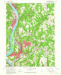
Editions of this 1958 Weirton Map
2 editions found
Other maps of this area

1901 · Beaver
USGS Topo · 1:62,500

1904 · Wellsville
USGS Topo · 1:62,500

1904 · Steubenville
USGS Topo · 1:62,500

1904 · Beaver
USGS Topo · 1:62,500

1904 · Burgettstown
USGS Topo · 1:62,500

1906 · Burgettstown
USGS Topo · 1:62,500

1935 · Steubenville
USGS Topo · 1:62,500

1937 · Wellsville
USGS Topo · 1:62,500

1942 · Steubenville
USGS Topo · 1:62,500

1944 · Wellsville
USGS Topo · 1:62,500