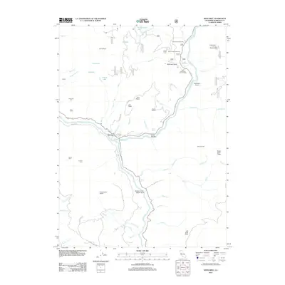
2012 Map of Weitchpec
USGS Topo · Published 2012About this map
The confluence of the Klamath River and the Trinity River defines the community of Weitchpec, a vital geographic and cultural hub in Humboldt County. This 2012 survey illustrates a landscape shaped by river systems and steep terrain, where logging and forest management legacies are visible through features like the Essenpries Mill and the Bluff Creek Forest Service Facility. Higher elevations are marked by distinctive landmarks such as Shelton Butte Lookout and Burrill Peak, while numerous named camps like Bloody Camp and Pumpkin Camp suggest the area's history of remote outpost activity. Small agricultural and residential holdings like Cooper Ranch and Waseck appear alongside extensive forest service roads. Natural clearings including Fern Prairie and Grasshopper Prairie contrast with the dense drainage networks of Aikens Cr and Bluff Cr, reflecting the diverse ecological zones found within the Hoopa Valley vicinity.
Find a feature on this map
78 named features on this map. Tap any name to fly to it.
Don’t see what you’re looking for? This feature index may not catch every label — zoom into the map to look around manually.
Map Details
Editions of this 2012 Weitchpec Map
This is the sole edition of this map. No revisions or reprints were ever made.
Other maps of this area

1925 · Hoopa
USGS Topo · 1:125,000

1945 · Coyote Peak
USGS Topo · 1:62,500

1945 · Tectah Creek
USGS Topo · 1:62,500

1948 · Weed
USGS Topo · 1:250,000

1950 · Weed
USGS Topo · 1:250,000

1952 · Coyote Peak
USGS Topo · 1:62,500

1952 · Hoopa
USGS Topo · 1:62,500

1952 · Orleans
USGS Topo · 1:62,500

1952 · Tectah Creek
USGS Topo · 1:62,500

1958 · Weed
USGS Topo · 1:250,000