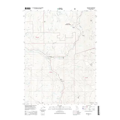
2015 Map of Weitchpec
USGS Topo · Published 2015About this map
The Klamath River and Trinity River converge at Weitchpec, a vital geographic and cultural landmark within the Six Rivers National Forest. This 2015 U.S. Geological Survey representation details the steep, drain-cut terrain where the two waterways meet, highlighting the riverside Saints Rest Bar and the adjacent Weitchpec School Rd. The landscape is defined by its deep gulches, such as Monkey Gulch and Bigtree Gulch, and the high ridges of the Salmon Mountains that rise to the east.
Find a feature on this map
74 named features on this map. Tap any name to fly to it.
Don’t see what you’re looking for? This feature index may not catch every label — zoom into the map to look around manually.
Map Details
Editions of this 2015 Weitchpec Map
This is the sole edition of this map. No revisions or reprints were ever made.
Other maps of this area

1925 · Hoopa
USGS Topo · 1:125,000

1945 · Coyote Peak
USGS Topo · 1:62,500

1945 · Tectah Creek
USGS Topo · 1:62,500

1948 · Weed
USGS Topo · 1:250,000

1950 · Weed
USGS Topo · 1:250,000

1952 · Coyote Peak
USGS Topo · 1:62,500

1952 · Hoopa
USGS Topo · 1:62,500

1952 · Orleans
USGS Topo · 1:62,500

1952 · Tectah Creek
USGS Topo · 1:62,500

1958 · Weed
USGS Topo · 1:250,000