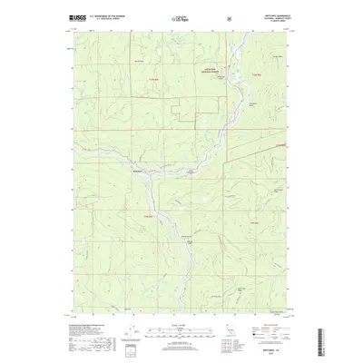
2018 Map of Weitchpec
USGS Topo · Published 2018About this map
Weitchpec serves as the focal point of this 2018 survey, situated at the significant confluence where the Trinity River joins the mighty Klamath River. This geographic juncture has long been central to the region's identity and transportation, as evidenced by the winding path of the Old State Hwy and Weitchpec Rd following the riverbanks. The surrounding landscape is dominated by the steep elevations of the Six Rivers National Forest, with prominent landmarks such as Burrill Peak and the Salmon Mountains defining the skyline.
Find a feature on this map
79 named features on this map. Tap any name to fly to it.
Don’t see what you’re looking for? This feature index may not catch every label — zoom into the map to look around manually.
Map Details
Editions of this 2018 Weitchpec Map
This is the sole edition of this map. No revisions or reprints were ever made.
Other maps of this area

1925 · Hoopa
USGS Topo · 1:125,000

1945 · Coyote Peak
USGS Topo · 1:62,500

1945 · Tectah Creek
USGS Topo · 1:62,500

1948 · Weed
USGS Topo · 1:250,000

1950 · Weed
USGS Topo · 1:250,000

1952 · Coyote Peak
USGS Topo · 1:62,500

1952 · Hoopa
USGS Topo · 1:62,500

1952 · Orleans
USGS Topo · 1:62,500

1952 · Tectah Creek
USGS Topo · 1:62,500

1958 · Weed
USGS Topo · 1:250,000