1924 Map of Welch
USGS Topo · Published 1965About this map
The coalfield geography of McDowell County is meticulously documented here, showing a landscape defined by the Norfolk and Western RR as it snakes through narrow valleys. The city of Welch serves as the central hub, surrounded by a dense network of mining settlements and industrial outposts like Kimball, Coalwood, and Gary. The map illustrates the intense rail-to-river relationship of the era, where tracks closely follow the Tug Fork and its numerous tributaries to serve operations like the Warrior Mine. Significant for genealogical research, the sheet preserves the locations of early 20th-century institutions, including the Mill Creek School and the Shannon Branch School, along with post offices such as Juverna PO and Capels PO that once anchored these hollows during the region's industrial peak.
Find a feature on this map
135 named features on this map. Tap any name to fly to it.
Don’t see what you’re looking for? This feature index may not catch every label — zoom into the map to look around manually.
Map Details
Editions of this 1924 Welch Map
2 editions found
Other maps of this area

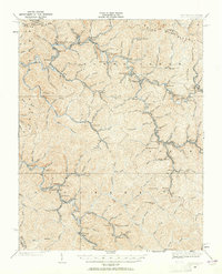
1887 · Pocahontas
USGS Topo · 1:125,000

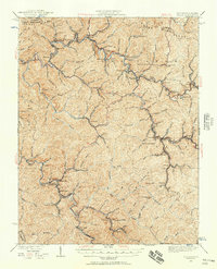
1891 · Tazewell
USGS Topo · 1:125,000

1891 · Pocahontas
USGS Topo · 1:125,000

1891 · Oceana
USGS Topo · 1:125,000

1891 · Raleigh
USGS Topo · 1:125,000

1893 · Oceana
USGS Topo · 1:125,000

1894 · Pocahontas
USGS Topo · 1:125,000

1895 · Tazewell
USGS Topo · 1:125,000

1895 · Pocahontas
USGS Topo · 1:125,000

1897 · Tazewell
USGS Topo · 1:125,000