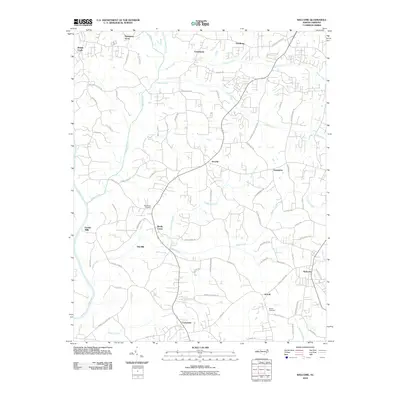
2010 Map of Welcome
USGS Topo · Published 2010About this map
The Yadkin River defines the western edge of this Piedmont landscape, where the rural character of Forsyth and Davidson counties was increasingly shaped by residential clusters and historical community centers at the turn of the 21st century. The settlement at Welcome sits in the southeast, serving as a primary local hub, while smaller crossroads and older names like Friedburg, Arcadia, and Enterprise anchor the surrounding countryside. A network of family-named roads, such as Hege Rd and Hassie Ln, suggests long-standing agricultural roots and property lines that preceded the modern suburban growth of Nestleway Acres.
Find a feature on this map
79 named features on this map. Tap any name to fly to it.
Don’t see what you’re looking for? This feature index may not catch every label — zoom into the map to look around manually.
Map Details
Editions of this 2010 Welcome Map
This is the sole edition of this map. No revisions or reprints were ever made.
Other maps of this area

1949 · Eller
USGS Topo · 1:24,000

1950 · Winston-Salem West
USGS Topo · 1:24,000

1950 · Lexington East
USGS Topo · 1:24,000

1950 · Winston-Salem East
USGS Topo · 1:24,000

1950 · Lexington West
USGS Topo · 1:24,000

1950 · Churchland
USGS Topo · 1:24,000

1951 · Winston-Salem West
USGS Topo · 1:24,000

1951 · Winston-Salem East
USGS Topo · 1:24,000

1951 · Churchland
USGS Topo · 1:24,000

1951 · Lexington East
USGS Topo · 1:24,000