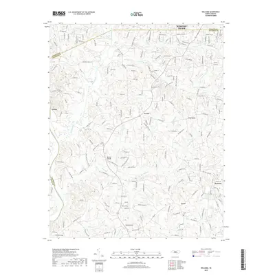
2019 Map of Welcome
USGS Topo · Published 2019About this map
The Yadkin River defines the southwestern edge of this North Carolina landscape, where the rural communities of Welcome, Arcadia, and Currytown are linked by a dense network of country roads. Small family and community cemeteries like Good Hope Cem and Beulah Cem are scattered across the terrain, offering significant points of interest for genealogical research in Davidson and Forsyth Counties.
Find a feature on this map
182 named features on this map. Tap any name to fly to it.
Don’t see what you’re looking for? This feature index may not catch every label — zoom into the map to look around manually.
Map Details
Editions of this 2019 Welcome Map
This is the sole edition of this map. No revisions or reprints were ever made.
Other maps of this area

1949 · Eller
USGS Topo · 1:24,000

1950 · Winston-Salem West
USGS Topo · 1:24,000

1950 · Lexington East
USGS Topo · 1:24,000

1950 · Winston-Salem East
USGS Topo · 1:24,000

1950 · Lexington West
USGS Topo · 1:24,000

1950 · Churchland
USGS Topo · 1:24,000

1951 · Winston-Salem West
USGS Topo · 1:24,000

1951 · Winston-Salem East
USGS Topo · 1:24,000

1951 · Churchland
USGS Topo · 1:24,000

1951 · Lexington East
USGS Topo · 1:24,000