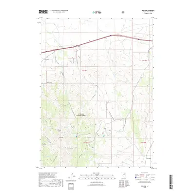
2018 Map of Welcome
USGS Topo · Published 2018About this map
East Humboldt Range defines the high terrain of this Nevada quadrangle, where the steep slopes of Greys Peak and the unique formation of Chimney Rock overlook alpine water bodies like Angel Lake and Smith Lake. The landscape is etched with historical transit routes, including the E Humboldt Highline and S Humboldt Highline trails that traverse the Humboldt National Forest.
Find a feature on this map
47 named features on this map. Tap any name to fly to it.
Don’t see what you’re looking for? This feature index may not catch every label — zoom into the map to look around manually.
Map Details
Editions of this 2018 Welcome Map
This is the sole edition of this map. No revisions or reprints were ever made.
Other maps of this area

1935 · Halleck
USGS Topo · 1:125,000

1955 · Wells
USGS Topo · 1:250,000

1955 · Elko
USGS Topo · 1:250,000

1958 · Wells
USGS Topo · 1:250,000

1958 · Elko
USGS Topo · 1:250,000

1961 · Wells
USGS Topo · 1:250,000

1962 · Elko
USGS Topo · 1:250,000

1965 · Elko
USGS Topo · 1:250,000

1967 · Welcome
USGS Topo · 1:24,000

1967 · Herder Creek
USGS Topo · 1:24,000