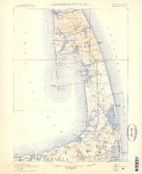
1887 Map of Wellfleet
USGS Topo · Published 1887About this map
The Old Colony Railroad Cape Cod Division serves as the central spine of this coastal landscape, connecting the seaside settlements of Wellfleet, South Wellfleet, and North Eastham. This 1887 survey, revised through 1917, documents the lower Cape's complex geography of inner harbors and outer beaches. Maritime safety and early communications technology are prominent, marked by the Cahoon Hollow Life Saving Station and the pioneering Marconi Towers on the Atlantic shore. Inland, the terrain is characterized by a dense network of freshwater kettle ponds such as Gull Pond and Great Pond. Local social centers are anchored by the Methodist Camp Ground and various meeting houses, while the Commercial Wharf in Wellfleet Harbor indicates the era's active maritime trade before significant shoreline changes altered features like Billingsgate Island.
Find a feature on this map
86 named features on this map. Tap any name to fly to it.
Don’t see what you’re looking for? This feature index may not catch every label — zoom into the map to look around manually.
Map Details
Editions of this 1887 Wellfleet Map
This is the sole edition of this map. No revisions or reprints were ever made.
Other maps of this area
1887 · Yarmouth
USGS Topo · 1:62,500
1887 · Provincetown
USGS Topo · 1:62,500
1888 · Chatham
USGS Topo · 1:62,500
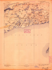
1889 · Yarmouth
USGS Topo · 1:62,500
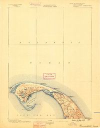
1889 · Provincetown
USGS Topo · 1:62,500
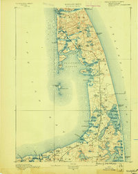
1889 · Wellfleet
USGS Topo · 1:62,500
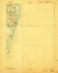
1893 · Chatham
USGS Topo · 1:62,500
1893 · Yarmouth
USGS Topo · 1:62,500
1893 · Wellfleet
USGS Topo · 1:62,500
1898 · Provincetown
USGS Topo · 1:62,500