Loading...
Loading map...2023 Map of Wellington
USGS Topo · Published 2023About this map
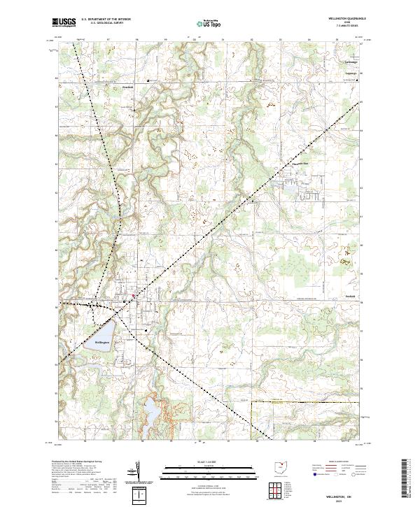
The village of Wellington serves as the focal point of this Lorain County landscape, where the confluence of several small waterways like Charlemont Creek and Wellington Creek meet the local settlement pattern. The town is marked by its systematic street grid, featuring historic thoroughfares such as Medina-Norwalk Rd and Woodland Ave. South of the main village, the Wellington Reservoirs provide a substantial footprint in the agricultural terrain.
Find a feature on this map
56 named features on this map. Tap any name to fly to it.
Don’t see what you’re looking for? This feature index may not catch every label — zoom into the map to look around manually.
Map Details
Date Portrayed2023
Date Published2023
PublisherU.S. Geological Survey
Map TypeTopographic
Scale1:24000
Physical Dimensions24 x 29 inches
Editions of this 2023 Wellington Map
This is the sole edition of this map. No revisions or reprints were ever made.
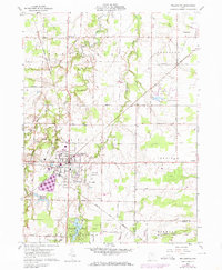
Historical Maps of Pheasant Run Village Through Time
4 maps found


Featured Locations
Source Details
SourceU.S. Geological Survey
CopyrightPublic Domain