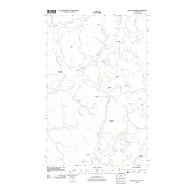
2011 Map of Wellington Peak
USGS Topo · Published 2011About this map
Wellington Peak stands as the central high point in this corner of Stevens County, anchoring a landscape defined by its mineral extraction and mountain topography. Early twenty-first-century infrastructure is visible here, yet the presence of the Tempest Mine, Silver Summit Mine, and Columbia Tungsten Mine points to a longer legacy of hard-rock mining in the region. Small settlements and crossroads like Maud, Waterloo, and Hungry Hollow are scattered through the valleys, connected by rural routes such as Addy-Gifford Rd and Records Rd.
Find a feature on this map
45 named features on this map. Tap any name to fly to it.
Don’t see what you’re looking for? This feature index may not catch every label — zoom into the map to look around manually.
Map Details
Editions of this 2011 Wellington Peak Map
This is the sole edition of this map. No revisions or reprints were ever made.
Other maps of this area

1927 · Chewelah
USGS Topo · 1:125,000

1930 · Chewelah
USGS Topo · 1:125,000

1948 · Hunters
USGS Topo · 1:62,500

1950 · Hunters
USGS Topo · 1:62,500

1950 · Inchelium
USGS Topo · 1:62,500

1954 · Okanogan
USGS Topo · 1:250,000

1958 · Okanogan
USGS Topo · 1:250,000

1958 · Sandpoint
USGS Topo · 1:250,000

1963 · Sandpoint
USGS Topo · 1:250,000
1965 · Dunn Mountain
USGS Topo · 1:24,000