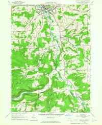
1965 Map of Wellsville South
USGS Topo · Published 1967About this map
The Genesee River carves a central path through this mid-1960s landscape, flanked by the township of Wellsville and the more rural reaches of Willing. This era shows the region's economy tied to the land, with numerous oil wells scattered across Beech Hill and Hanover Hill, alongside evidence of the gravel industry near Shongo. The village of Wellsville itself is a concentrated hub of infrastructure, featuring the Erie-Lackawanna railroad, Island Park, and established institutions like Washington Sch and Sacred Heart Cem.
Find a feature on this map
77 named features on this map. Tap any name to fly to it.
Don’t see what you’re looking for? This feature index may not catch every label — zoom into the map to look around manually.
Map Details
Editions of this 1965 Wellsville South Map
2 editions found
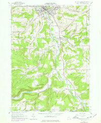
Other maps of this area

1925 · Belmont
USGS Topo · 1:62,500

1926 · Wellsville
USGS Topo · 1:62,500

1932 · Genesee
USGS Topo · 1:62,500

1934 · Coudersport
USGS Topo · 1:48,000

1937 · Genesee
USGS Topo · 1:62,500

1938 · Coudersport
USGS Topo · 1:62,500

1939 · Belmont
USGS Topo · 1:62,500

1950 · Elmira
USGS Topo · 1:250,000

1954 · Williamsport
USGS Topo · 1:250,000

1957 · Warren
USGS Topo · 1:250,000