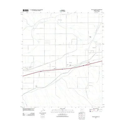
2011 Map of Wellton Mesa
USGS Topo · Published 2011About this map
Gila River meanders across the northern portion of this landscape, its path framed by a grid of agricultural roads and irrigation infrastructure. The irrigation network is defined by routes such as Mohawk Canal Rd and E Mohawk Canal Rd, which support the desert farming economy of the region. Scattered settlements including Asher, Noah, and the curiously named Filibusters Camp are situated along the primary transit corridor of E Hwy-80. To the north, Radium Hot Springs suggests the geothermal character of the river valley.
Find a feature on this map
48 named features on this map. Tap any name to fly to it.
Don’t see what you’re looking for? This feature index may not catch every label — zoom into the map to look around manually.
Map Details
Editions of this 2011 Wellton Mesa Map
This is the sole edition of this map. No revisions or reprints were ever made.
Other maps of this area

1926 · Wellton
USGS Topo · 1:62,500

1926 · Mohawk
USGS Topo · 1:62,500

1928 · Mohawk
USGS Topo · 1:62,500

1928 · Norton
USGS Topo · 1:62,500

1929 · Wellton
USGS Topo · 1:62,500

1929 · Norton
USGS Topo · 1:62,500

1942 · Yuma
USGS Topo · 1:250,000

1953 · Ajo
USGS Topo · 1:250,000

1954 · El Centro
USGS Topo · 1:250,000

1955 · El Centro
USGS Topo · 1:250,000