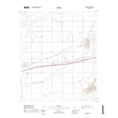
2018 Map of Wellton Mesa
USGS Topo · Published 2018About this map
The Gila River corridor defines this arid Arizona landscape, weaving through a valley bounded by the Wellton Mesa and the jagged heights of the Baker Peaks. This 2018 survey documents a region where water management is central to the community's existence, as seen in the extensive network of irrigation infrastructure including the Wellton Canal Rd and Mohawk Canal Rd. The settlement of Wellton serves as the primary hub, supported by smaller locales such as Asher and Noah situated along the transport lines north of the Mohawk Valley. Topographic landmarks like Antelope Hill and Radar Hill provide distinct vertical relief against the wide agricultural and desert flats. The map captures the modern grid of county roads, such as E Co 10 1/2 St and Dike Rd, which facilitate movement between the river and the surrounding mesas.
Find a feature on this map
40 named features on this map. Tap any name to fly to it.
Don’t see what you’re looking for? This feature index may not catch every label — zoom into the map to look around manually.
Map Details
Editions of this 2018 Wellton Mesa Map
This is the sole edition of this map. No revisions or reprints were ever made.
Other maps of this area

1926 · Wellton
USGS Topo · 1:62,500

1926 · Mohawk
USGS Topo · 1:62,500

1928 · Mohawk
USGS Topo · 1:62,500

1928 · Norton
USGS Topo · 1:62,500

1929 · Wellton
USGS Topo · 1:62,500

1929 · Norton
USGS Topo · 1:62,500

1942 · Yuma
USGS Topo · 1:250,000

1953 · Ajo
USGS Topo · 1:250,000

1954 · El Centro
USGS Topo · 1:250,000

1955 · El Centro
USGS Topo · 1:250,000